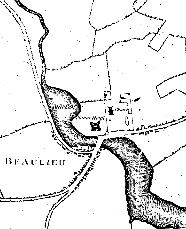
Beaulieu - Richardson, King, Driver and Driver's late 18th century / early 19th century map

Richardson, King, Driver and Driver's map
Maps are used throughout the New Forest Explorers' Guide to illustrate the changing face of the New Forest. The earliest of these was published in 1814 at a scale of 4 inches to the mile (6.3 centimetres to the kilometre), by Richardson, King, Driver and Driver. This was, though, a revised edition of the first reasonably accurate, large scale map of the New Forest, published in 1789 by the first three of those named.
The 1814 edition relied substantially upon the survey undertaken for the 1789 map, and was updated primarily to reflect relatively limited revisions to forestry inclosures. It therefore largely depicts the New Forest as it was immediately prior to 1789, rather than in 1814.
Note: On this map, the letter ‘L’ refers to lands held on leasehold from the Crown, whilst the letter ‘i’ is used to show incroachments, or parcels of land taken illegally from the Forest.
Quick linksMore links
Other related links
Search this site

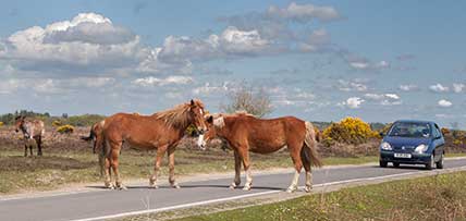
Sadly, 58 animals were killed - 35 ponies, 13 cows, 8 donkeys and 2 sheep, whilst a further 32 were injured - 3 pigs, 9 donkeys, 11 cows and 9 ponies.
(Forty-three accidents occurred in daylight, 15 at twilight and 101 in the dark. Twenty-seven accidents were not reported by the driver involved).
Here's just one horrific example - Three donkeys killed in collision with van at notorious New Forest blackspot (Advertiser and Times)

