

Cut Walk

The Cut Walk follows the route of a road constructed in 1725 at the request of Charles, 3rd Duke of Bolton, Lord Warden of the New Forest and resident of Burley Lodge, who presumably wanted to avoid the nearby, potentially wetter underfoot, valley-bottom alternatives.
Now a track-way through magnificent, unenclosed woodlands, the Cut Walk clings to higher ground for much of its route from Swan Green, near Lyndhurst, past the tiny hamlet of Allum Green, and on to what is commonly known as the ‘Roman Bridge’ across Highland Water, close to the New Forest Reptile Centre. The bridge, however, is actually thought to be no older than the road.
Although gravelled in places, much of the Cut walk is now of bare, often muddy earth. In fact, it is difficult to appreciate the considerable expense incurred by the Crown in its creation – reported to be £850.
In September 1895, Lyndhurst Parish Council took over maintenance responsibility from the Office of Woods, forerunner of the Forestry Commission.
The Cut Walk, although unnamed, can be seen running across the edge of Lyndhurst Hill on the late-18th century Richardson, King and Driver map. It was named, however, on later Ordnance Survey maps and continues to be shown on modern maps.
References:
Lyndhurst – A Brief History and Guide: Georgina Babey and Peter Roberts
Lyndhurst Parish Council records: Roy Jackman
More links
Other related links
Search this site
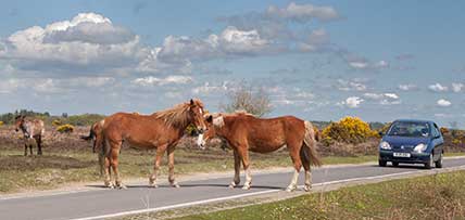
Sadly, 58 animals were killed - 35 ponies, 13 cows, 8 donkeys and 2 sheep, whilst a further 32 were injured - 3 pigs, 9 donkeys, 11 cows and 9 ponies.
(Forty-three accidents occurred in daylight, 15 at twilight and 101 in the dark. Twenty-seven accidents were not reported by the driver involved).
Here's just one horrific example - Three donkeys killed in collision with van at notorious New Forest blackspot (Advertiser and Times)